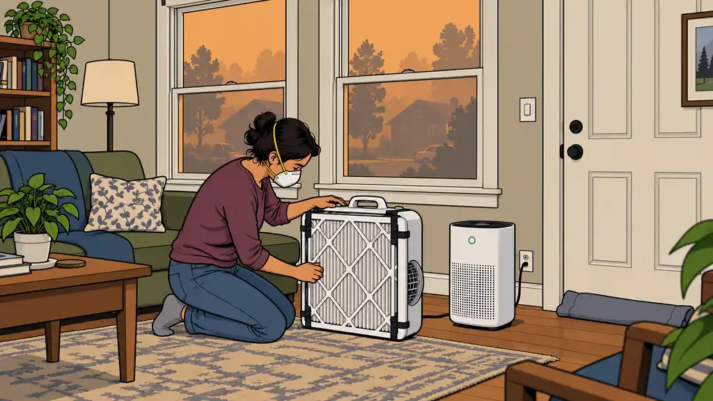
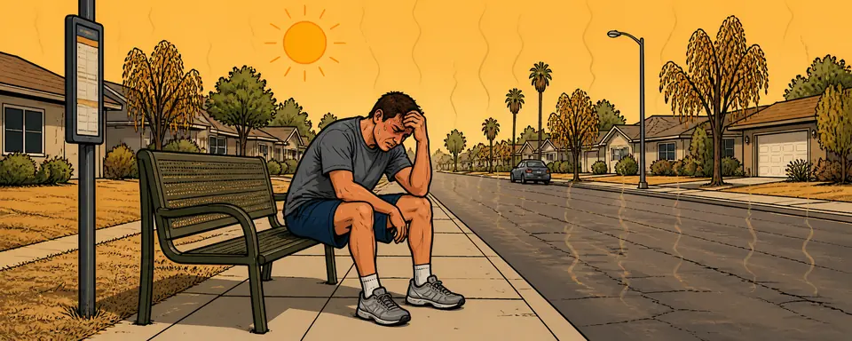
Smoke weeks and evacuation triggers — filtration indoors, a packed bag, and a route you’ve driven.
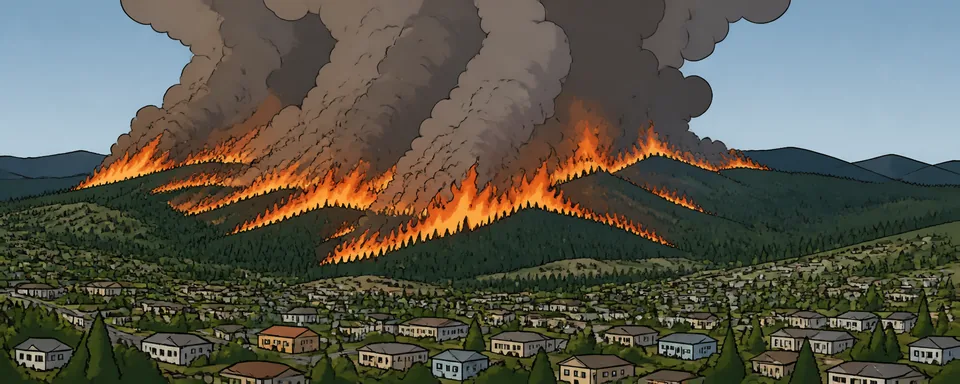
Concrete moves that lower your Vulnerability. Add any of them and we'll track it as an action on your threat list.
Burn density from 40 years of real fire perimeters.
A national view — this is one of 410+ layers in Area Recon. Open it to zoom to your address, then add the hazards, infrastructure, terrain and resources around you, and read the real numbers for your county.
Explore in Area Recon →Add it to your personal threat list, score it for your own household, or pull the real hazard data for your county.