


For most people, navigation is a solved problem: type the address, follow the blue dot. It works so well that “knowing how to get somewhere” has quietly become “knowing how to spell it.” That’s a fine convenience and a terrible plan — because the moment you’d most need to find your way out is exactly the moment the blue dot is least trustworthy.
GPS is a signal broadcast from satellites, decoded by a phone that needs power, a network for its maps, and a clear enough sky. Every one of those links can break, and several of them break in the same disasters you’re preparing for. In May of 2024, geomagnetic storms strong enough to throw auroras as far south as Hawaii and the Bahamas degraded GPS performance and interfered with high-frequency radio. That wasn’t a war or an EMP — just the sun having a bad week. The signal is not a given.
The failure modes stack up
The blue dot can go dark for reasons that have nothing to do with the apocalypse:
- Dead phone, no charging. Grid down, battery flat — navigation over.
- No cell data. Most map apps stream their tiles. Off-network, you get a blue dot floating on a gray void unless you downloaded the area first (few people do).
- Signal degradation or jamming. Solar storms, as in 2024, or deliberate interference — and GPS jamming has become common enough in conflict zones that it’s no longer exotic. Recon has the currently jammed areas (account required to see it as it’s a live layer).
- The route is wrong. Even with a perfect signal, the app routes you toward the closure, the flood, the crowd — because it doesn’t know what you know about what’s ahead.
The disasters that make you need to navigate — grid down, solar storm, regional evacuation — are the same ones that make GPS unreliable. A navigation plan that depends on it isn’t a plan.
Paper doesn’t need a signal
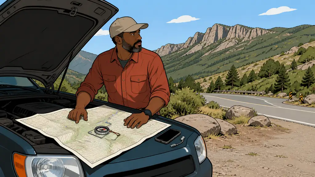
The backup is boring and bombproof: printed maps and the skill to read them. A road atlas and local street maps cover the driving. For anything off pavement — the walk home, a route around a chokepoint — you want topographic maps, the ones with contour lines that turn the flat page into a picture of the terrain.
Topo maps do more than tell you where you are. Because people traveling on foot naturally follow terrain — moving along a ridgeline or up a valley rather than straight over a hill — reading the contours tells you the likely paths others will take too, in or out of your area. That’s navigation and threat-awareness from the same sheet of paper.
A field tip worth stealing: don’t write on the map itself. Cover it with a clear overlay — a sheet protector works — and mark your routes and notes on that using a marker or map pen. Alcohol wipes it clean, so the same map survives repeated planning without turning into a scribbled mess.
Build the redundancy before you need it
Two-is-one applies to navigation like everything else. The layered version:
- Primary: GPS, with offline maps of your area downloaded in advance so a dead network doesn’t blank the screen. If you’re a member, our Recon tool has offline maps.
- Backup: printed road atlas plus local street and topo maps, kept in the vehicle and the get-home bag.
- Skill: a compass and the ability to orient a map and take a bearing. The map you can’t read is decoration. This is a weekend of practice, not a course.
The habit that makes it real is doing your route planning on the paper now — the drive, the walk, the alternates — so the map already knows the way when you don’t have time to think.
Bottom Line
- GPS is a convenience with real failure modes. Dead battery, no data, solar degradation, jamming, or simply routing you into the hazard.
- The failures cluster with the emergencies. A 2024 solar storm degraded GPS across the hemisphere — the events that need navigation are the ones that break it.
- Paper is the actual plan. Road atlas for driving, topo maps for terrain and for reading where people on foot will move.
- Add a compass and the skill. A map you can’t orient is decoration — a weekend of practice fixes that permanently.
Plan your routes on a real map with Area Recon.